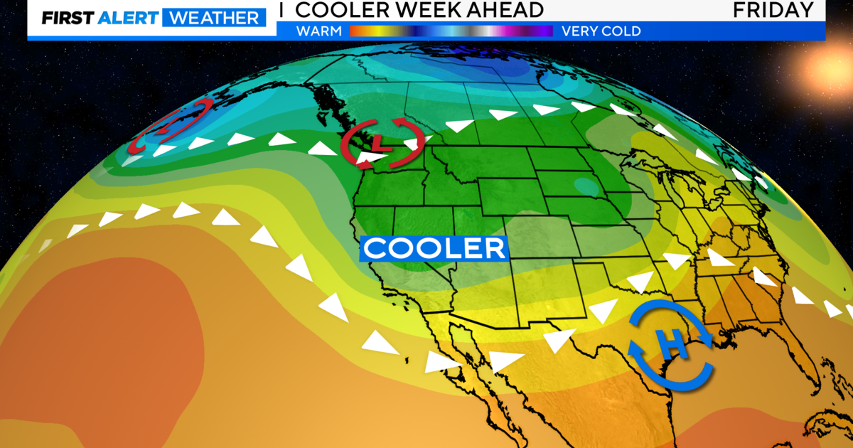
After Short Reprieve, More Rain Expected Saturday
SACRAMENTO (CBS13) - After a brief break on Friday, the rain returns to the Sacramento Valley early Saturday morning.
According to current projections, rain should start falling around 7 a.m. There's also a wind advisory from the National Weather Service from 8 a.m. to 7 p.m. Winds of 20-30 mph are expected, with gusts 40-50 mph, peaking in the late morning or early afternoon.
There could be a break in the rain during the afternoon, but colder air moving in might trigger afternoon and evening thunderstorms with small hail. Daytime high temperatures will stay in the 50s.
The Sierra snow levels will initially remain high but the colder air moving in will lower snow levels through the day on Saturday to 3,500-4,500 feet before reaching 2,500-3,500 feet early on Sunday. Expect snow accumulations of 5-10 inches above 5,000 feet with 1-2 feet of snow possible above 6,500 feet. Light snow will fall into the upper foothill locations Sunday morning.
Rainfall amounts of 1-4 inches are possible in the foothills and lower mountain elevations. Up to an inch of rain is expected in the Sacramento Valley and up to a half inch is expected in the northern San Joaquin Valley and Delta region.
There is a winter storm watch warning from Saturday morning to Sunday morning. Winds could gust up to 70 mph over the mountain passes.
Sunday in the valley should be mostly sunny but cool, with a high of 58 forecast in Sacramento.
The recent spat of rain has pushed Sacramento above the normal total for March but still below the yearly average.