Five Tornadoes Touched Down In California Monday, Tying Single-Day Record
SACRAMENTO (AP) — The five tornadoes that touched down across Northern California this week tied a single-day record dating to 1996, the National Weather Service said Tuesday.
Thunderstorms were expected again Tuesday and Wednesday as part of the first series of storms of the season, but they were not expected to produce the same dangerous turbulence.
"Knock on wood, we don't expect them to be as severe," said Jim Mathews, lead forecaster at the National Weather Service office in Sacramento.
The worst of the weather was on Monday, he said. There is a chance of showers and thunderstorms in the Central Valley through Wednesday before things dry out Thursday. A winter weather advisory was in effect for Tuesday night in the Sierra Nevada, with up to seven more inches of snow expected. Snow showers on Wednesday might add another two inches.
The continued wet weather could hit during Wednesday night's World Series opener at AT&T Park in downtown San Francisco. Austin Cross, a meteorologist with the National Weather Service in Monterey, said most of the rain should clear out by late afternoon, leaving a 15 to 20 percent of a downpour during the game.
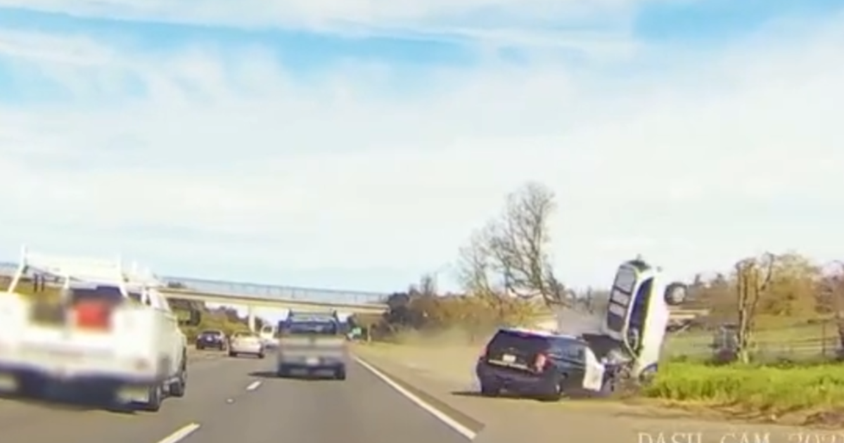
Monday's five confirmed tornadoes damaged dozens of homes and a handful of commercial buildings across an 80-mile swath of the northern Central Valley stretching from south of Sacramento to near Oroville, then toppled trees in the Sierra Nevada foothills north of Auburn. No injuries were reported.
It was the highest number of tornadoes in one day since April Fool's Day in 1996, when five tornadoes flattened trees and barns near Stockton, Mathews said. California typically might experience one or two lower-grade twisters in a season, but the north state had 13 roar through in 2005, more than Oklahoma that year.
Most are less damaging and deadly than their Midwest counterparts, Mathews said, and that was the pattern on Monday.
A tornado with peak gusts up to 100 mph touched down intermittently for more than two miles south of Yuba City, knocking down fences and trees. The weather service classified it and a twister in Elk Grove, south of Sacramento, as weak tornadoes.
The Yuba City tornado snapped a 2 ½ foot diameter tree at the Mallard Lake Golf Center and ripped up as many as 40 small walnut and peach trees in a nearby orchard, said John DeBeaux, Sutter County's emergency operations manager. It tore up a carport, tossed a powerboat into a neighboring field, and threw a 12 foot-by-14 foot garage door onto the roof of the Bonanza Feed store, he said.
The only injury was to a horse that suffered a minor cut on its nose from flying debris, he said.
A half-dozen golfers were on the Mallard Lake golf course when the tornado hit, said owner Sal Nasrawi. A tree branch hit one golf cart and high winds lifted it slightly off the ground with a panicked golfer inside before setting it down.
"You could see it, a white line coming down from the cloud and hit the ground and sort of explode," Nasrawi said. "I've seen it on TV, I've seen it in movies, but it's the first time I've seen it here."
Fifty-two homes and one commercial building were damaged in Elk Grove, said police department spokesman Officer Chris Trim. The twister punched a 20 foot-by-50 foot hole in the roof at the International Paper Co., then tore off roof tiles, knocked down fences and trees, broke windows and flattened garden sheds as it moved through suburban neighborhoods.
"It kind of peeled it back, kind of like a banana," paper company plant manager David Carpenter said of the roof damage. "It was over as quick as it started. By the time we evacuated, the weather was calm."
National Weather Service crews were assessing the damage there and in Lake of the Pines, a rural suburb midway between Auburn and Grass Valley. Trees toppled onto a hair salon, a home and a neighboring garage, causing minor roof damage in the foothills community, said Mike Quintana, spokesman for the Nevada County Office of Emergency Services.
The final two tornadoes did no reported damage near Browns Valley, northeast of Yuba City, and south of Oroville in Butte County, Mathews said.
The Central Sierra Snow Lab near Donner Summit reported more than 27 inches of snow, with light snow still falling Tuesday. About 16 inches of snow had fallen along Interstate 80 at Blue Canyon, at 5,200 feet in elevation.
Copyright 2012 The Associated Press.