Forecast: 70 Saturday; Rain Moves In Early Next Week
SACRAMENTO (CBS13) - Crystal-clear skies meant a chilly start to the day Friday, but things warmed up quickly and will continue with spring-like weather again Saturday.
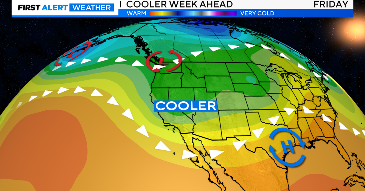
Winds Friday will stay light and variable primarily because we're still under a big ridge of high pressure. In the next few days, the ridge will flatten out, meaning it will be an end to the 70s and the start of our next storm system, which will pack a little bit of a punch.
We'll go from 70 Saturday to 60s on Sunday and down into the 50s by Tuesday when rain and thunderstorms are expected to hit. We'll see snow as low as 2,500 feet in the foothills.
Scattered valley showers and possibly thunderstorms are expected to hit mainly on Tuesday, with .20 to a half-inch or rain expected. across the valley.
Snow levels with this storm are expected to drop down to 2,500 feet. Snow will be heaviest on Tuesday, with 6-12 inches possible above 3,000 feet.