Near Record Highs End Workweek As Weekend Temps Drop Some
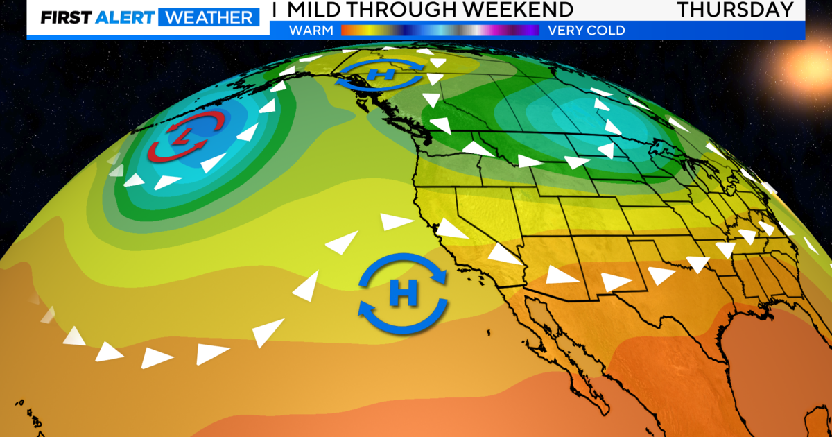
Sacramento could tie the record high temperature of 94 degrees Friday afternoon, but these hot and sunny days will be ending soon.
A red flag warning for increased fire danger will be in effect from midnight Friday through 4 p.m. on Saturday for the northern Sacramento Valley.
From Yuba City north to Redding, and back west toward Clearlake, northeast winds between 15 to 25 mph -- gusting to 35 mph -- will combine with low relative humidity levels. There's a lot of dry vegetation out there, so emergency officials will be keeping a close eye on the fire threat.
Temperatures will dip slightly for the valley on Saturday with a high near 90 degrees. Skies will be sunny, but in the mountains, thunderstorms are possible Saturday afternoon and evening in the Sierra, and along the coastal range.
Any lightning strikes could pose a fire threat due to the very dry conditions.
On Sunday, valley highs fall back to around 80 degrees with increasing clouds. The threat of thunderstorms mainly appears to be limited to the mountains.
However, on Monday and Tuesday, there's a slim chance of a shower or thunderstorm making its way into the valley and foothills.
Highs will be significantly cooler early next week -- in the low to mid 70s.