1,200 Square Miles Of Valley Sinking Near Merced Because Of Groundwater Use
MERCED (CBS13) — More than 1,000 square miles of the central valley is sinking faster than ever, because of the overuse of water during drought years.
The process is called subsidence, and it's when the top layer begins to sink because groundwater is being taken out from underneath.
"You can more look at it like a sponge, so when a sponge is dry, it is smaller," sad U.S. Geological Survey hydrologist Michelle Sneed. "If you put water in, it inflates a little bit.
Just how far has the land sunk? Some parts in the valley have dropped nearly 30 feet from 1926 to 1970. Over time, that kind of change can affect the course of rivers.
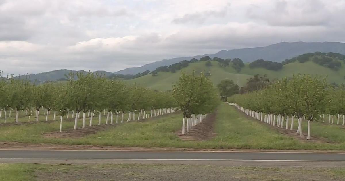
The battle is far from over, as farmers during drought years are pulling water from the ground for their crops. That's created a bowl near Merced spanning 1,200 square miles.
"Obviously when we have less water to deliver to them, they are a business," said Rick Woodley with the Bureau of Reclamation. "They have to go to groundwater."
If that water isn't managed properly, or replaced, scientists warn it could spell trouble for canals and other projects.
"When you lower the land surface in different places and different rates, the low spots are in different places," Sneed said. "That can cause rivers to change course and cause flooding in places you didn't expect it."


