A Full Yolo Bypass Means Sacramento's Flood Controls Are Working
SACRAMENTO (CBS13) — State water managers are keeping a close eye on lakes, dams, and rivers. The recent rain storms are putting experts on high alert to make sure the flood control system can handle all of this winter's runoff.
All the water is filling the Yolo Bypass. It's a sight we don't see every year. Cars on Interstate 80 drive over what appears to be a large lake, but it's really runoff from our serious of strong February storms.
Mitchel Russo with the California Department of Water Resources says that's a sign that the flood control system is working.
READ ALSO: Yolo County Levees Repaired As Authorities Prepare For More Rain
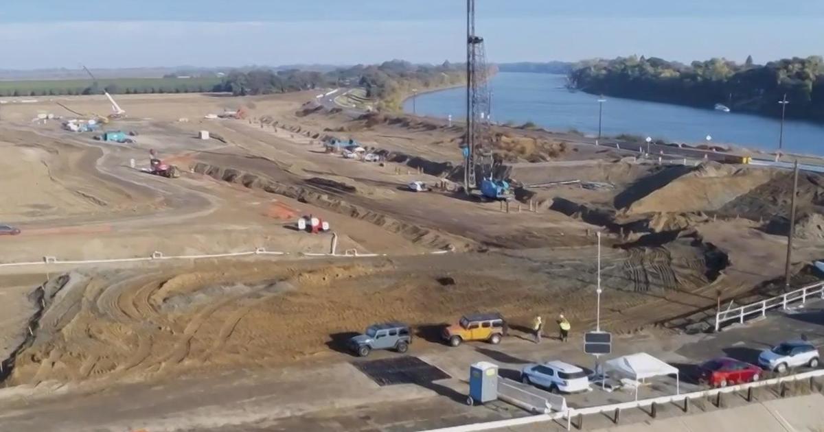
When the Sacramento River rises, water begins flowing over the top of weirs, which are man-made low points along the riverbank, designed to relieve stress on levees downstream. That runoff then flows into the bypass, which is open space often used for farming and nature conservancy when its not flooded.
"It allows the Sacramento River to continue on it's way down to the delta without elevated water levels in the river itself which would be problematic," Russo said.
So far that has helped keep the river below monitor stage in Downtown Sacramento all winter.
"It's doing exactly what it's designed to do," Russo said.
It's one part of a flood control network being closely monitored as water resource managers wait for the next storm to hit.
On Thursday the Sacramento River was six feet below flood stage and a half foot below monitor stage.