More Than 2,000 Homes Threatened As King Fire Surges To Nearly 28,000 Acres
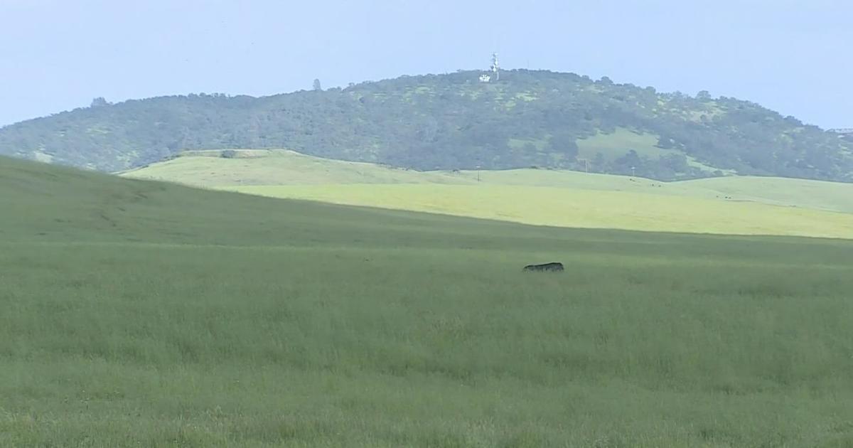
10 p.m. UPDATE: EL DORADO COUNTY (CBS13) — The King Fire stretched to nearly 28,000 acres as the blaze was fueled by wind and created a massive plume visible from miles away.
Gov. Jerry Brown declared a state of emergency for the King Fire burn area.
The flames forced more families to frantically free their homes as more than 2,000 homes remained threatened.
As the fire pushed northwest, the small El Dorado County community of Volcanoville was evacuated.
Jenny Young's family scrambled to load everything up.
"Well, we're leaving the only place I've ever felt at home in my life, so I'm praying to God
everybody's safe, but selfishly I don't want our house to burn either. You know?" she said.
Stumpy Meadows Campground, the place Rodney Mercer managed for years, burned to the ground.
"I started crying," he said. "I put in so much work up there trying to get it good, and even talking about it now I get choked up."
MANDATORY EVACUATIONS
- Bear Foot Road
- Bear State Road
- Blodgett Forest Road
- Bojac Court
- Bootjack Mine Road
- Bottle Hill (east end one mile north of Wentworth Springs)
- Carey Ave
- Cassill Mine Road
- Cecil Lane
- Cedar Cable Road
- Chiquita Bypass
- Christmas Tree Lane
- Country Road
- Coyote Court
- Ditch Camp Road
- Dry Lakes Trail
- Dusty Camp Road
- El Bosque
- Garden Tower Lane
- Harmony Lane
- Haven Ridge Road
- Helix Flat Avenue
- Hobby Horse Lane
- Homewood Drive
- Horse Power Drive
- Kentucky Flat Road
- Lake Avenue
- Little Silver Road
- Lodgepole Lane
- Lofty Peak Lane
- Logging Road
- Loop Cutoff Road
- Loop Road
- Merkel Drive
- Middle Loop Road
- Midway Loop Road
- Mount Cedar Road
- Narrow Way
- Onion Valley Road
- Oso Mesa Court
- Otter Creek Road
- Our Place Road
- Patchwork Lane
- Paymaster Mine Road
- Peavine Point Road
- Piolet Creek Road
- Plum Creek Road
- Point Lane
- Quintette Court
- Ringtail Place
- Ringtail Road
- Robs Cabin Trail
- Rock Creek Road (one mile south from Wentworth Springs)
- Rubicon Road
- Sand Mountain Boulevard
- Shotgun Lane
- Sleigh Bell
- Snowy Way
- South Creek Road
- South Fork Trail
- Spring Tunnel Mine Road
- Star Lane Thumper Lane
- Stickerbrush Trail
- Sunset Peak Lane
- Tall Timber Road
- Tipton Hill Court
- Tipton Hill Road
- Tinsel Trail
- Tricometric Trail
- Trinity Trail
- Tunnel Hill Loop Road
- Tunnel Hill Loop
- Tunnel Hill Road
- Un Road
- Volcanoville Road
- Wentworth Springs Road (east of Balderston Road)
- White Fir Road
- Wild Horse Trail
- Wolfridge Road
- Woodpecker Road
- Yuletide Way
- 11 Pines Road
- 12 Mile Court
- 12 Mile Road.
The Red Cross Evacuation Center will be located at 6530 Wentworth Springs Road in Georgetown.
- Granite Springs
- Ice House Road (east side)
- Pickett Pen Road
- Rubicon Trail
- Windmiller Trail
- Wrights Lake Road including all Forest Service roads, trails, and access roads in the Crystal Basin recreation area between Ice House Road and Desolation Wilderness, north of the Highway 50 corridor.
- Ice House Reservoir
- Loon Lake
- Rockbound Lake
- Rubicon Reservoir
BOLES FIRE UPDATE
WEED, Calif. (AP) - Teams of firefighters went house-to-house on Wednesday to pin down damage done by a wildfire that officials estimated had destroyed 110 homes and damaged another 90 in the small town of Weed while another Northern California blaze east of Sacramento was threatening more than 2,000 homes as it burned out of control, officials said.
The new figures from Weed brought a marked increase from the initial estimate that a total of 150 structures had been destroyed or damaged in the blaze that began Monday and rapidly swept across the town. Four firefighters lost their homes.
In the fire east of Sacramento, a total of 2,500 firefighters were now taking on the blaze that was threatening 2,003 homes and another 1,505 smaller structures, the California Department of Forestry and Fire Protection said.
"It's been an explosive couple of days," CalFire spokesman Daniel Berlant said.
The fire has burned nearly 44 square miles of trees and brush and is just 5 percent contained.
"We are faced with a large and dangerous fire," Laurence Crabtree, a U.S. Forest Service supervisor for the Eldorado National Forest, told the Sacramento Bee. "We have had significant losses of public timber land, private timberland and watershed."
Most of the threatened homes were in Pollock Pines, 60 miles east of Sacramento. Hundreds of them are under evacuation orders, but it wasn't immediately clear exactly how many.
In Weed, two churches, a community center and the library also burned to the ground, while an elementary school and the city's last wood products mill were damaged by flames that had been pushed by 40 mph winds.
On Wednesday, firefighters braced for more wind as they battled the 375-acre fire, and insurance companies worked to find places to live for the people who lost their homes.
The cause of the blaze was under investigation. It was 60 percent contained.
Burned neighborhoods remained off-limits, but people have been finding ways in since the fire started.
The Rev. Bill Hofer, pastor of Weed Berean Church, said power was back on in his home, which was still standing on the edge of the devastation zone, and he was planning to return Wednesday night - despite the evacuation order - to deter vandalism.
"The more people home with the lights on, the better," he said.
At the Roseburg Forest Products veneer mill, workers looked for structural damage to the main manufacturing facility. A maintenance shed was reduced to twisted sheet-metal.
"We were in the middle of its path," said Kellye Wise, vice president of human resources for the company based in Dillard, Oregon. He said employees also lost homes in the blaze.
The temporary closure of the mill came as another blow to a town still suffering from logging cutbacks in the 1990s intended to protect fish and wildlife, said Siskiyou County Supervisor Michael Kobseff.
With 170 workers, the mill is the second largest employer in Weed, a blue-collar town of 3,000 people in the shadow of Mount Shasta. He said some residents are anxious to rebuild.
"Then there are others still pretty well devastated," he said. "But I think the community is just trying to pull together and get back on track."
Near Yosemite National Park, a 320-acre fire that damaged or destroyed 71 structures, including 37 homes, around Oakhurst was 70 percent contained and all remaining evacuations were canceled.
More than 4,000 wildfires have burned in California this year.
Copyright 2014 The Associated Press.