Storms Raise Hope For Relief From California's Drought
SAN FRANCISCO (AP) - Hours of steady rain Saturday from northern California's third winter storm in a week raised hopes that the state was moving out of its driest three years in history - while still deeply locked in drought.
"It's a marginal improvement. Marginal being the operative word there," said Bob Benjamin, a National Weather Service forecaster, as showers that brought from a quarter-inch to more than a half-inch of rain to the San Francisco Bay Area tapered off late Saturday morning.
In fact, after this week's three back-to-back winter storms, much of the state was doing noticeably better for rain than last year, but still well below normal for this point in the year. Through October, the last three years overall have been the driest in California's history, according to the federal National Climatic Data Center. By last summer, 58 percent of the state was rated in the most extreme category of drought, and scores of communities instituted voluntary or mandatory water-saving measures.
Even before Saturday's rain, things were looking slightly better this month. Downtown San Francisco by Friday stood at 2.15 inches of rain for the year, compared with 1.45 inches this time last year and 3.44 inches normally. Redding, in the north of California, by this morning had received 7.19 inches for the rain year beginning July 1, more than twice as much as last year and more than an inch above normal, National Weather Service forecaster Holly Osborne said. Parts of south-central and southern California received no new rain Saturday, after some from the week's two earlier storms.
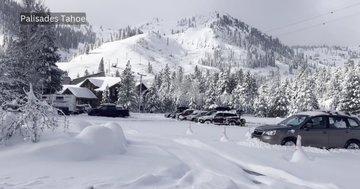
Warm weather means the Sierra Nevada mountains were getting rain, not snow, on Saturday, although a couple of inches of snow blanketed the mountains during one of the storms earlier in the week, said Robert Baruffaldi of the National Weather Service in Sacramento. Snowpack in the Sierra Nevada mountains is critical to the year-round water supply in California, where a Mediterranean-style climate concentrates rain in the winter, with dry summers. As of early this month, Sierra snowpack stood at roughly 20 percent of normal, and Baruffaldi noted the season had yet to bring a big snowstorm to the mountains.
"I don't think there's been enough snow this year to even take count yet, but it stuck and got white, so that's good news," Michael Smith, marketing director at a ski park on Mount Shasta, told the Redding Record Searchlight. "We're ahead of last year by 100 percent, so we're in pretty good shape."
The good news, forecasters said, is that each passing storm raises the likelihood that a persistent, storm-blocking ridge of high pressure that sat off California last winter, blocking rain, is finally history.
Born of fluke jet streams and other conditions, the high-pressure system had earned a nickname from forecasters, for its stubbornness: the ridiculously resilient ridge.
"It was a persistent, dry pattern that sort of became locked in place" last winter, said Benjamin, with the weather service's office in the central coast city of Monterey. "Now we're into a little more dynamic pattern, getting some movement" and "more routine amounts of rain."
Dry weather is expected for most of the week, followed by more rain next weekend, he said.
Copyright 2014 The Associated Press.
More on California's historic drought: