Research Shows Impact Of Rising Sea Levels On Stockton, Sacramento
STOCKTON (CBS13) —Could Stockton soon be underwater? New research suggests that cities across the country would be flooded out by the end of this century, and according to new maps, Stockton and Sacramento could be some of the hardest hit.
Dramatic images show the city of Stockton underwater. Stockton City Hall, Dameron Hospital, even the University of the Pacific are all submerged. El Dorado Elementary School, along with thousands of homes are almost completely under water. The images are what some researchers say could happen in Stockton by the year 2100, in a worst case sea level rise of 10 to 12 feet.
MORE: View the maps
Daniel Lopez, a spokesman for the Stockton mayor's office, said, "It's scary."
The maps are from Climate Central, a non-profit out of New Jersey that analyzes climate change. New York and Miami are listed as the top two affected cities in the nation should sea levels rise to extreme levels. Stockton comes in at number nine.
"I looked at that and had to take a double take. It's a little concerning," says Lopez.
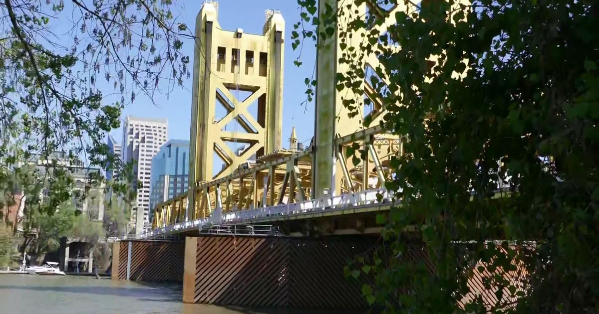
The scenario doesn't spare Sacramento. In fact, it's the second most vulnerable California city after Stockton, according to Climate Central.
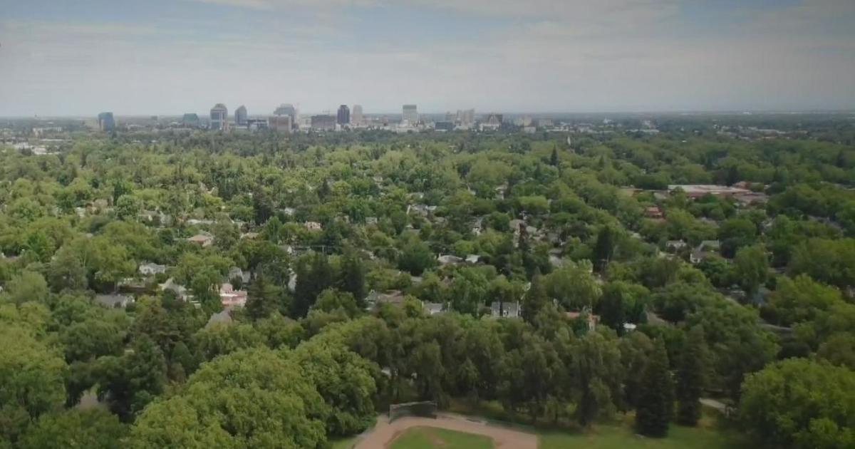
Popular landmarks like William Land Park are drowning in water, only rooftops are visible at McClatchy High School, and Sacramento and Natomas area homes appear permanently flooded. Old Sacramento and the State Capitol are not affected, however.


