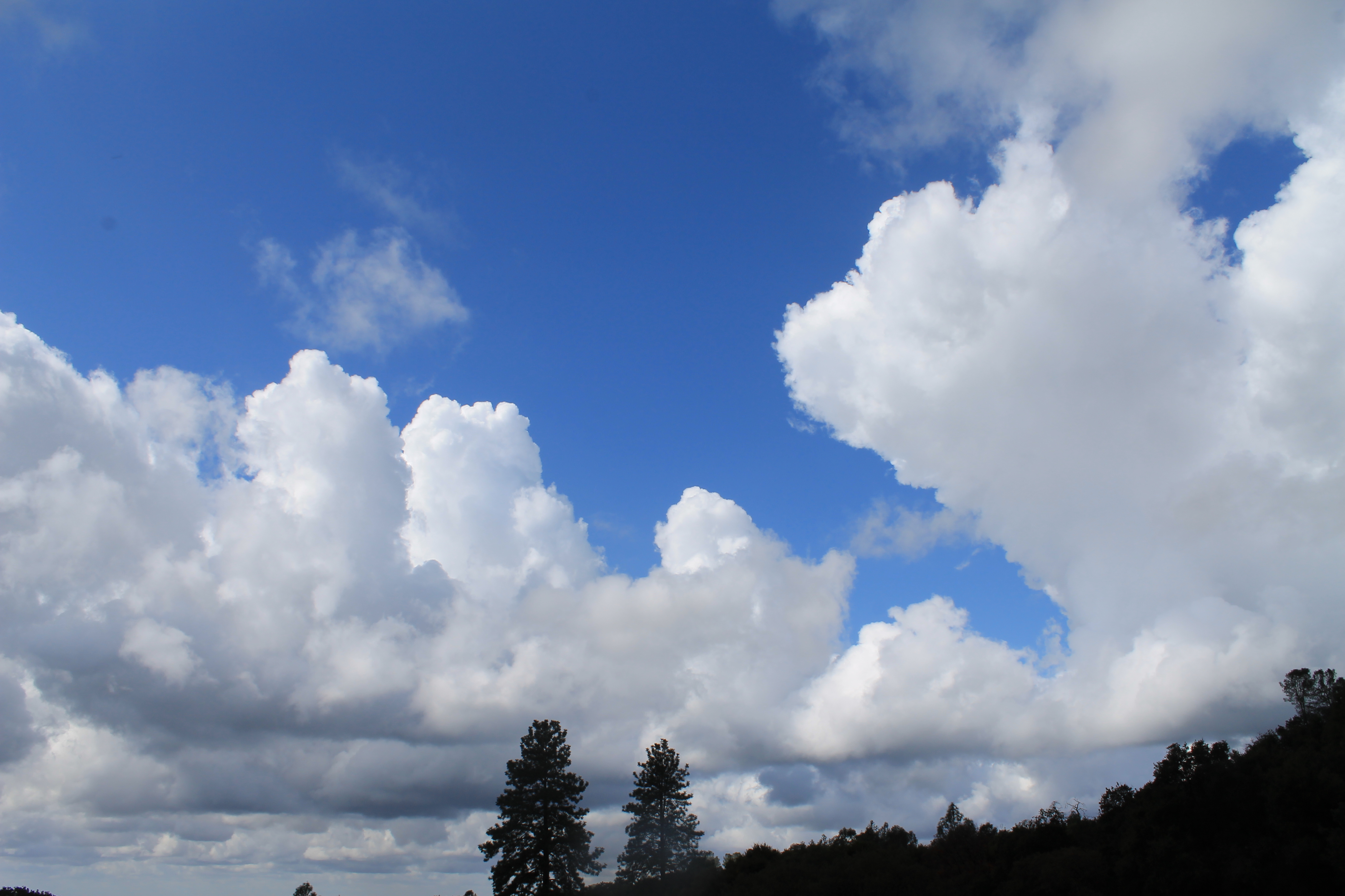
Scenic Drives Within 60 Miles Of Sacramento
Sacramento is surrounded by a rich variety of scenic wonder and historic places. A little time, a full tank of gas and a bit of wanderlust will put the most beautiful drives near Sacramento under your wheels. Strap on the seat belts, charge the cameras and hit the city's most beautiful roads.
Green Valley Road to Placerville
Placerville, CA 95667
(530) 621-2489
www.placerville.com
Distance: 45 miles one-way
Long ago, Placerville was known as Old Hangtown. History says there is the stump of the town's hanging tree under a now defunct bar on Main Street. The trip along winding Green Valley Road to Placerville is a meandering shot into history. Your drive will take you from the valley floor to the foothills. Gently undulating hills roll through old ranches and farmland, several old gold-mining areas and up into the foothills of the Placerville area. Tour Main Street, read the plaques on the old buildings, walk on creaky old wood floors, take in the photos of the town as it used to be, and enjoy what's still there.
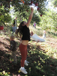
Highway 50 to Apple Hill
Boa Vista Orchards
2952 Carson Rd.
Placerville, CA 95667
(530) 622-5522
www.boavista.com
Hours: daily – 9 a.m. to 5 p.m.
Distance: roughly 50 miles one-way
Heading east on U.S. Highway 50 takes you from Sacramento to El Dorado County. Transiting from the valley and the urban and sub-urban neighborhoods to the more sparsely populated foothills brings with it a pleasant change in scenery. From rolling hills to canyons and historic Gold Rush Era towns, up into Apple Hill is quite a change. The trees change from valley oaks to large pine, cedar and madrone. Explore the tranquil back roads of orchard country here. Roads that are forested on their sides with vibrant trees, flowing streams and great vistas of orchards and vineyards will slow your pace. The ranches and orchards are all a part of the history here. Pies, goodies, fresh fruit and veggies, along with the stunning vista at Boa Vista Orchards, make perfect pit stops here.
Related: Insider Family Guide to Apple Hill

Highway 16 to Highway 124 to Ione
Clarks Corner
12 W. Main St.
Ione, CA 95640
(209) 274-2233
www.clarkscornerione.com
Hours: daily – 6 a.m. to 9 p.m.
Distance: 35 miles one way
Motoring along the back roads of Amador County is an explorers dream. Gently winding roads, rolling hills, miles and miles of grape vines and wineries are scattered liberally along the way. In spring, green is the dominant color. As spring lets loose to summer, golden yellows and browns take over. The views are long and seemingly endless. Ione is an old Gold Rush town that had not much to do with gold. It was a stop along the way for supplies and good eats. Not surprisingly, it still is. The 2011 Amgen Tour of California sped through here. While the sights along the way are great, Ione itself deserves some exploration too. Clarks Corner is the town meeting place, well worth the stop for a good meal with a side of history.
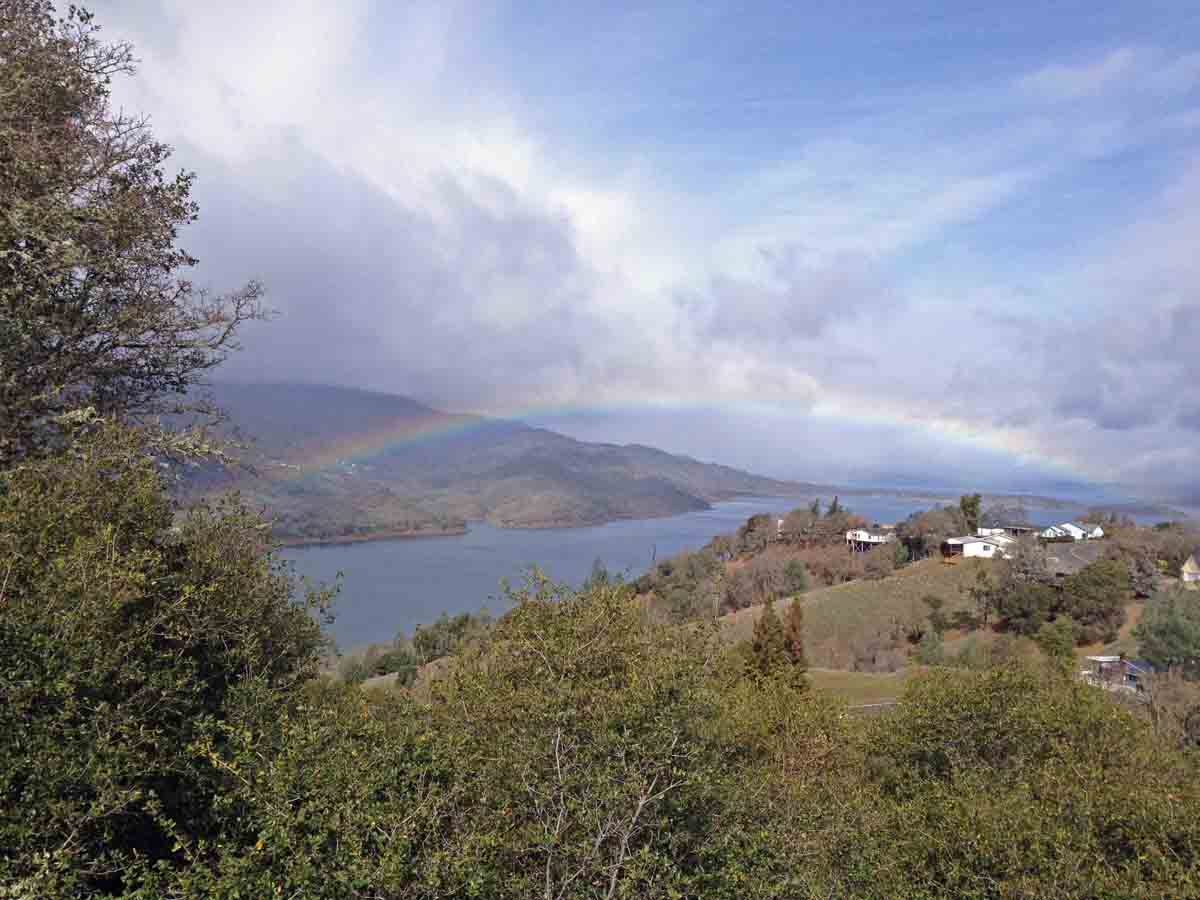
Highway 128 to Spanish Flat, Lake Berryessa
Cucina Italiana
4310 Knoxville Rd.
Lake Berryessa, CA 94558
(707) 966-2433
www.cucinaitalinana
Hours: Fri, Sat and Sun – 11:30 a.m. to 9 p.m. through March; Wed to Sun – 11:30 a.m. to 9 p.m. starting in April
Distance: 60 miles, one way
http://www.lakeberryessanews.com/
Not far out of Davis is an extremely gorgeous drive along Highway 128. Take in the scenic drive rolling past Winters, through the Putah Creek State Wildlife Area close to the Putah Creek Cafe and into the foothills around Lake Berryessa. The drive takes you through sparsely populated valley and foothill flora and fauna terrain. It's a valley and riparian wonderland. Pull over along the way and give your camera a work out. Reaching Lake Berryessa opens up a stunning lake experience. Work up an appetite along the way and satisfy your foodie needs at Putah Creek Cafe or the Cucina Italiana at Spanish flat. Enjoy the uncluttered drive home while keeping an eye out for local wildlife.
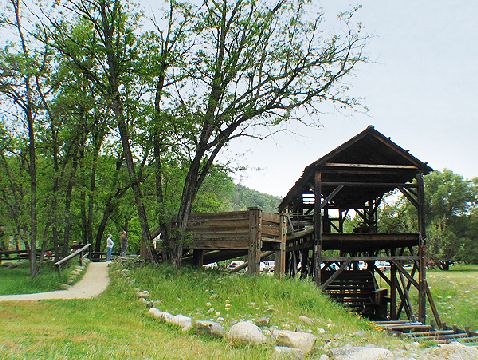
Highway 49 to Grass Valley
Grass Valley, CA 95945
www.downtowngrassvalley
Distance: roughly 55 miles one-way
Highway 49 is a gateway to many historic places outside of Sacramento. Grass Valley is certainly cemented into the Gold Rush history of the area. The drive along Highway 49 is best taken at a leisurely pace, camera at the ready. Winding through pastoral valleys, around twisting canyon-hugging roads, this is the route the gold-frenzied miners used after gold was discovered at Coloma. You will drive along canyon roads that explode into fantastic open views of the canyon, glimpses of the American River and hills on the other side of the canyon. Digger pines, black oaks, old cabins, piles of rocks and signs to still-existing mines will greet you all along the way. Exploring Grass Valley is an added bonus after a stunning drive. Stops here will cause dedicated foodies to swoon, photo buffs to fill memory cards and romantics to look forward to doing it again.
Related: Best City Escapes from Sacramento
Charles is a freelance writer who has lived in the Sierra, halfway between Sacramento and Lake Tahoe, for the last 37 years. He retired from teaching after 36 years in 2010. He and his wife hike, kayak, cross country ski, snow shoe, ride mountain bikes and road bikes, year round. Wandering aimlessly, always looking for another place to explore, some place new, is high on the agenda. Charles enjoys all aspects of the great outdoors and writing about it to encourage others to explore as well. His work can be found at Examiner.com.